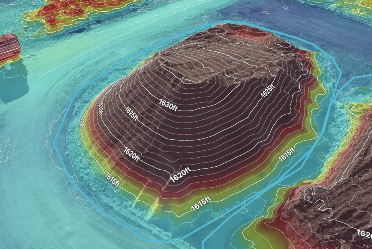
3d MAPPING
See Your Land in a Whole New Way
3D mapping uses drones to create detailed, realistic models of land and buildings. Instead of just looking at a flat map, you get a full 3D view that helps with planning, measuring, and decision-making.
Who Can Benefit?
Emergency Responders – See damage from floods, landslides, or other disasters to plan recovery efforts.
Construction & Development – Plan projects, track progress, and inspect sites without being there in person.
Farmers & Landowners – Analyze slopes, drainage, and soil conditions to improve irrigation and planting.
Why IS IT Useful?
✅ More Detail Than Regular Maps – See height, depth, and shape, not just a top-down view.
✅ Faster & More Accurate Planning – Get better data for building, farming, or emergency response.
✅ Less Time in the Field – No need for as many site visits—check everything remotely.
✅ Cost-Effective – More affordable than traditional surveying methods.
From planning new roads to responding to disasters, 3D mapping gives a complete and accurate picture of the land, helping you make faster, smarter decisions.
Get results faster and with more accuracy
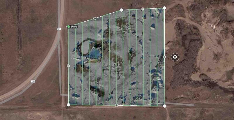
We begin our drone operations by following the regulations set by Transport Canada. When the operation plan is complete and agreed upon, a PDF document disclosing the details, and a property owner consent form will be sent to review and sign. Once the paper trail is done, we will arrive on site (weather pending) and complete the drone survey.
This usually takes no longer then 10-30 minutes. After the flight is complete, we will process the images and complete all annotations requested. What you will receive is an accuracy report, annotation report, and a .csv file for your own management purposes.