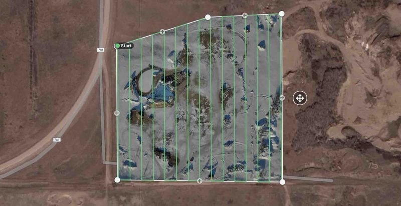
geo-referenced
aerial imagery
What It Is and How CAN It Help?
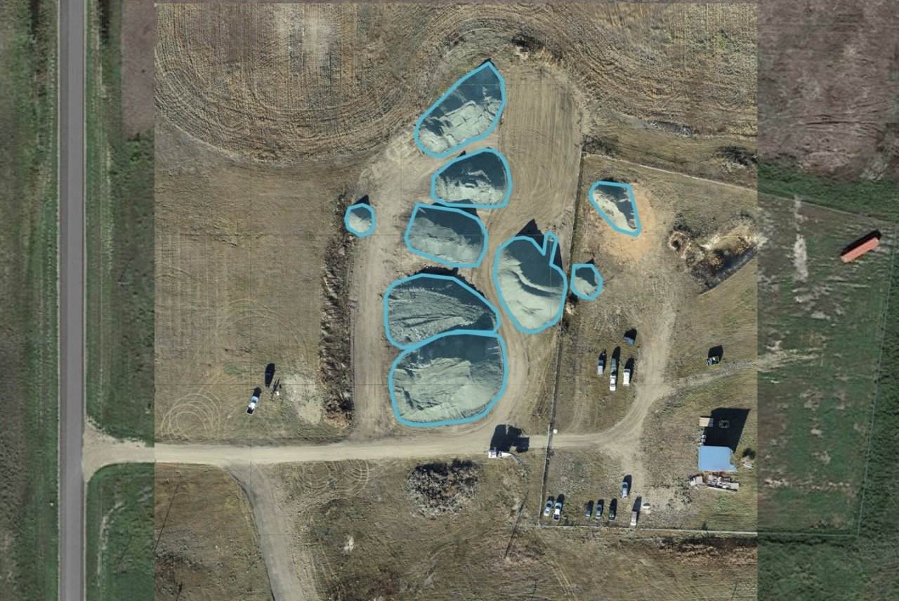
Geo-referenced aerial imagery is high-resolution drone photography that’s matched to real-world locations.
This means every image is tied to exact map coordinates (latitude and longitude), so you get accurate and reliable data about the land.
Who Can Benefit?
Municipalities & Infrastructure Planners – Update maps, plan roads, and track land use changes.
Farmers & Landowners – Monitor crops, check for drainage issues, and manage fields more efficiently.
Construction & Resource Industries – Measure land, plan projects, and track environmental impact.
Emergency & Environmental Management – Assess flood damage, watch for wildfires, and monitor natural areas.
Why It’s Useful
✅ Accurate Maps & Measurements – Know exactly where things are and track changes over time.
✅ Saves Time & Money – Cover large areas faster and more affordably than traditional surveys.
✅ Up-to-Date Information – See the latest conditions of your land, roads, or developments.
✅ No Ground Work Needed – Data is collected remotely, without disturbing the land.
From managing farmland to planning new roads, georeferenced aerial imagery gives clear, accurate, and up-to-date information to make better decisions.